Cooling Off: Ricketts Glen’s Many Waterfalls

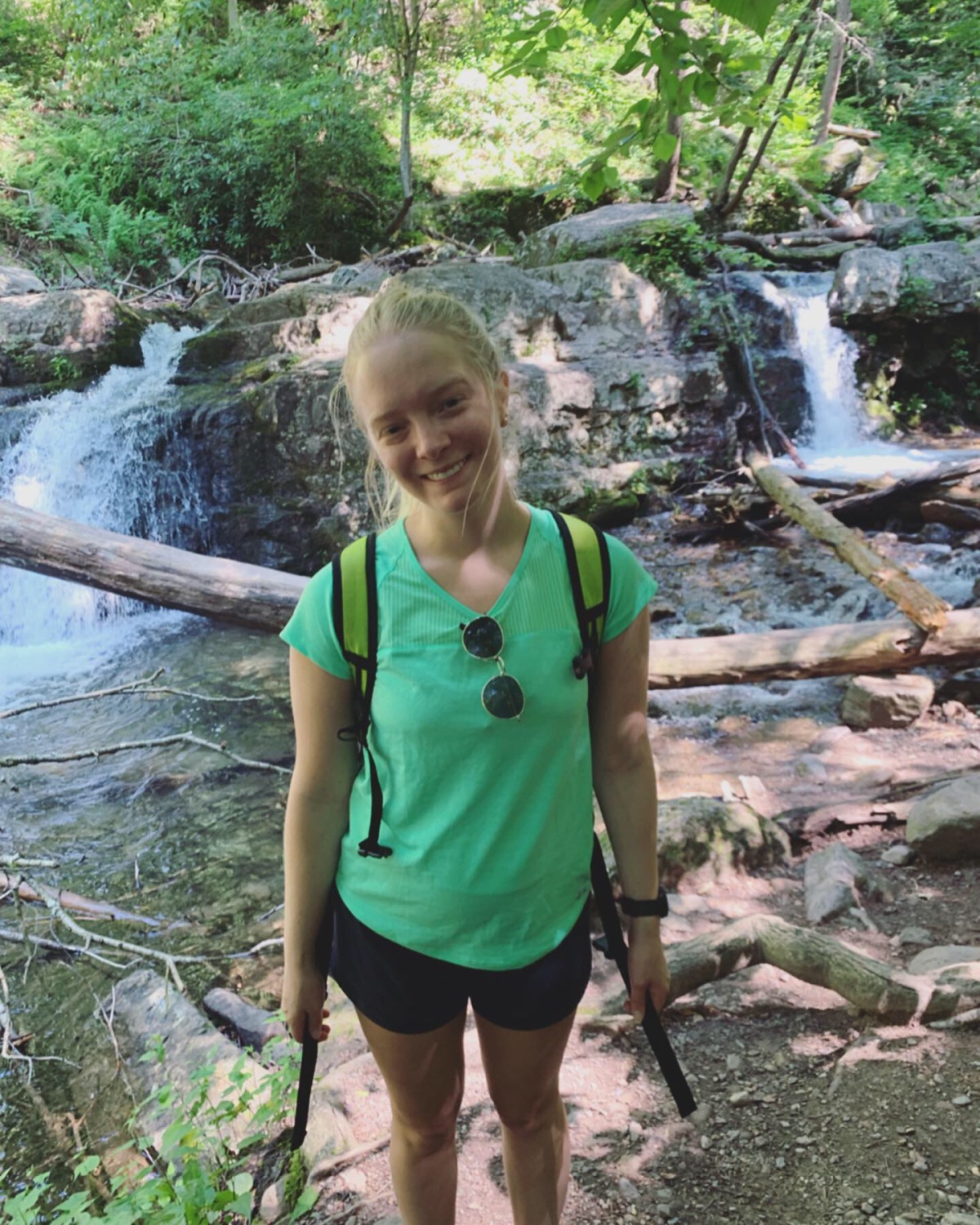
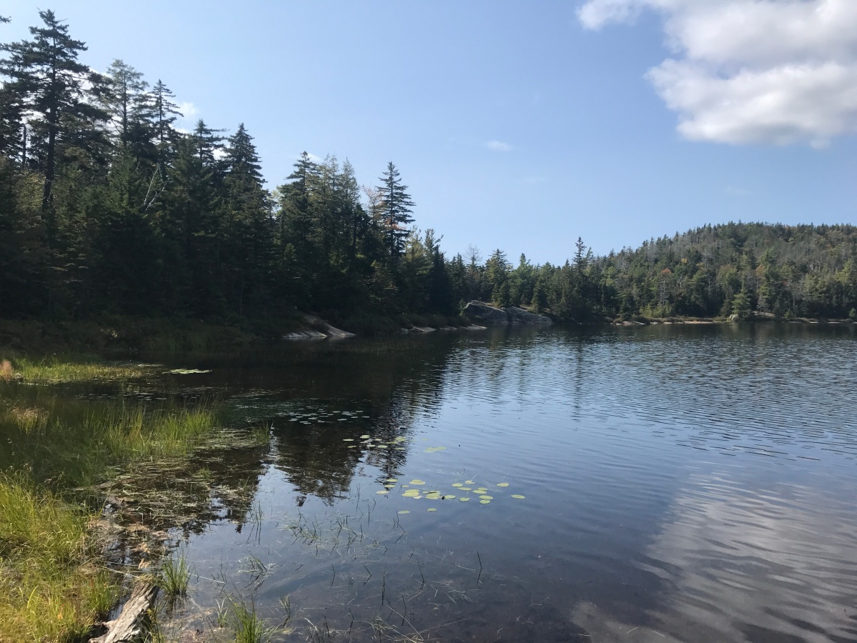
I had always heard great things about Ricketts Glen, but I had never had the chance to explore its many waterfalls. In late July, my boyfriend and I decided that we would make the two hour trip to Ricketts Glen State Park in Benton, Pa and check this hike off our list. We left around 6:00am so we could beat the crowds and the heat and we arrived around 8:15am. The main parking lot was wide open at this time and we were able to hop right on the trail to begin the hike.

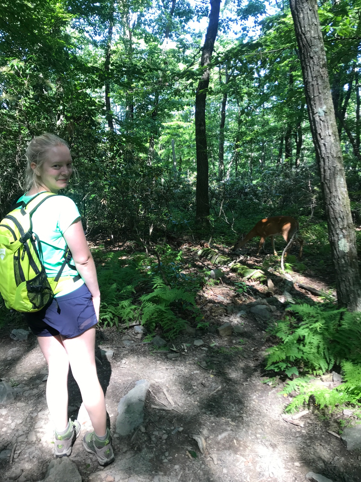
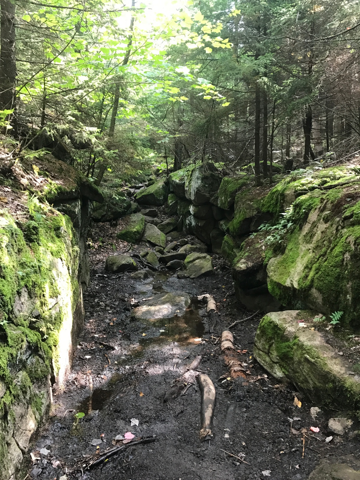
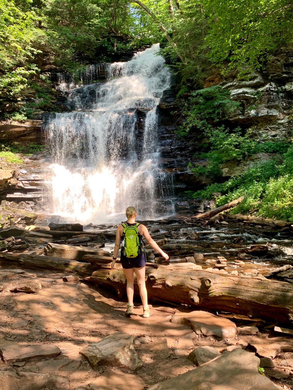
We began the hike on the Falls Trail for about one mile which is mostly wooded and follows along Kitchen Creek. There are several bridge crossings and the trail is completely shaded and comfortable which was nice in late July. Soon we came to a split in the trail where we took the Lower Trail that follows more closely along the banks of the creek. The waterfalls quickly came into view and the first one was a beautiful sight. You are able to get up close and personal with the falls which is wonderful and allows for many awesome photo ops.

IMG_5185

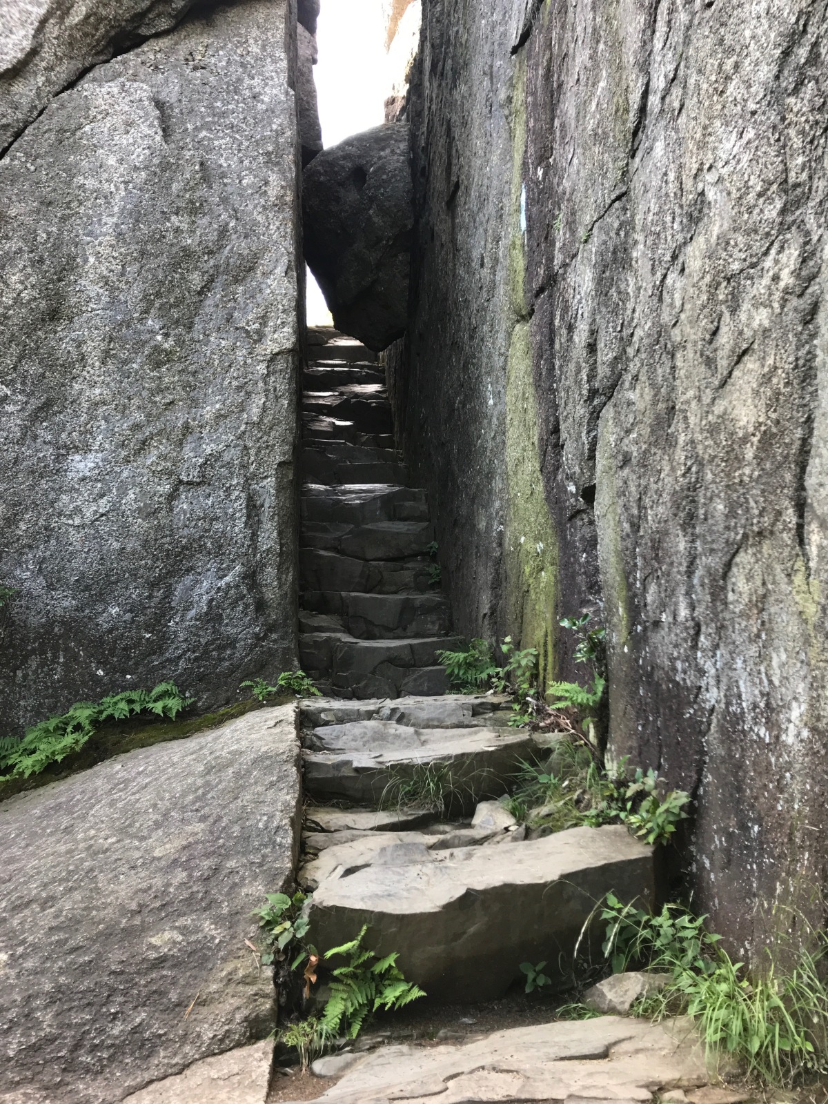
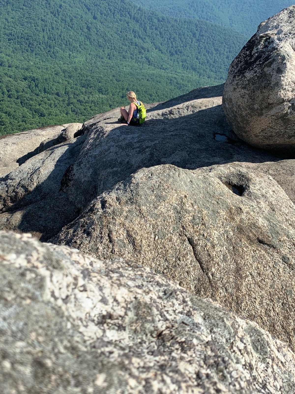
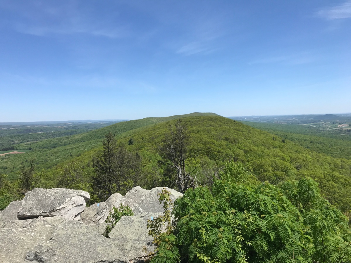
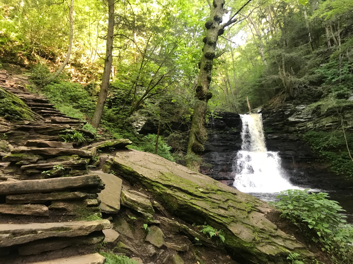
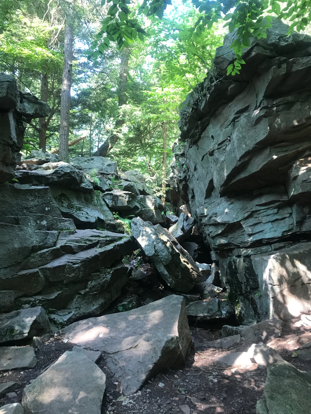
Continuing on, there were tons of waterfalls to see along the trail (21 in total). There was another split in the trail where we took the Glen Leigh Trail. This trail continued our ascent. Each waterfall had steps along the side which made for a tough leg workout. We passed several more beautiful waterfalls along the way and continued through the Midway Crevasse. This section of the trail was a passageway through boulders in a wide clearing. This was a nice change of pace to the upward route we had grown used to.

IMG_5175

IMG_5189

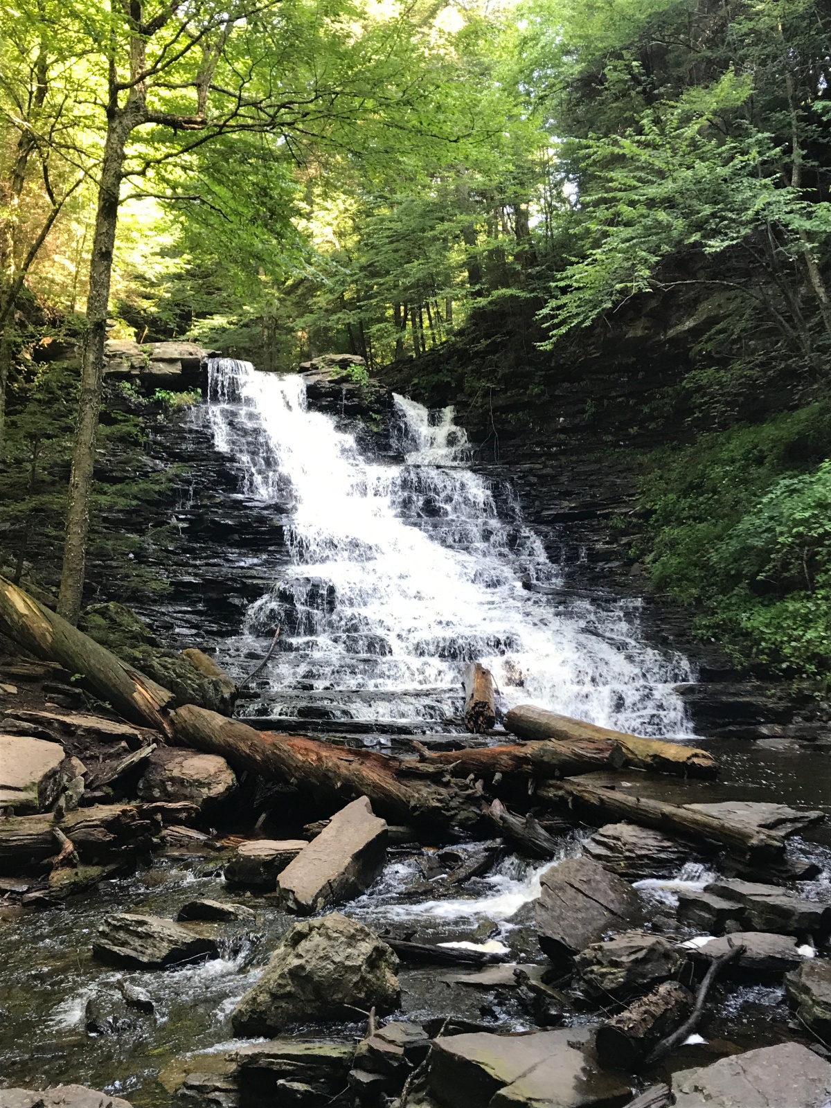
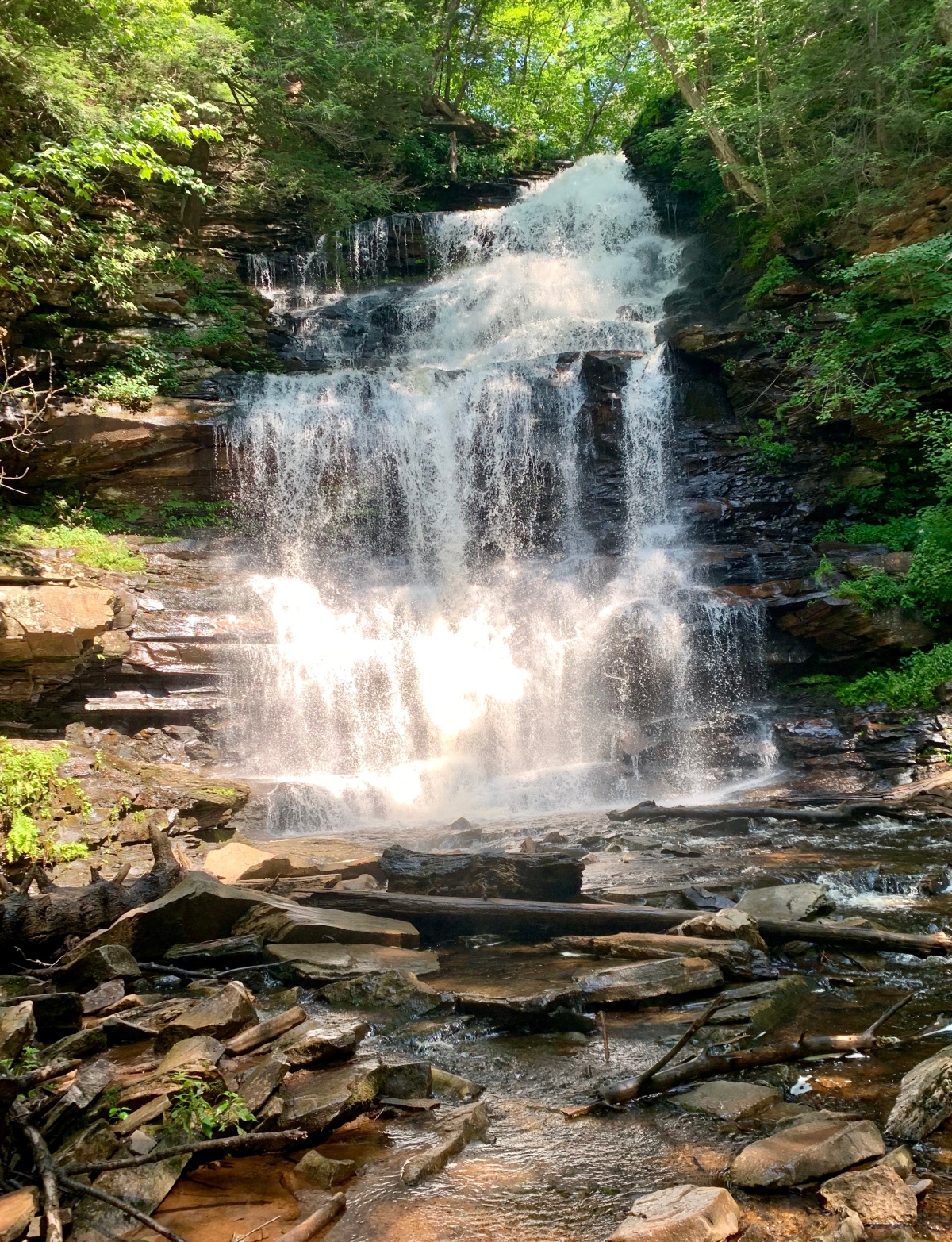
Soon enough we knew we were reaching the tallest waterfall in the park, 94′ Ganoga Falls. This waterfall was huge! It was over twice as large as any of the other waterfalls in the park. We stopped to admire this natural wonder and had a snack before snapping some pictures. I was so amazed at this waterfall.

fullsizeoutput_21c5

fullsizeoutput_21d8

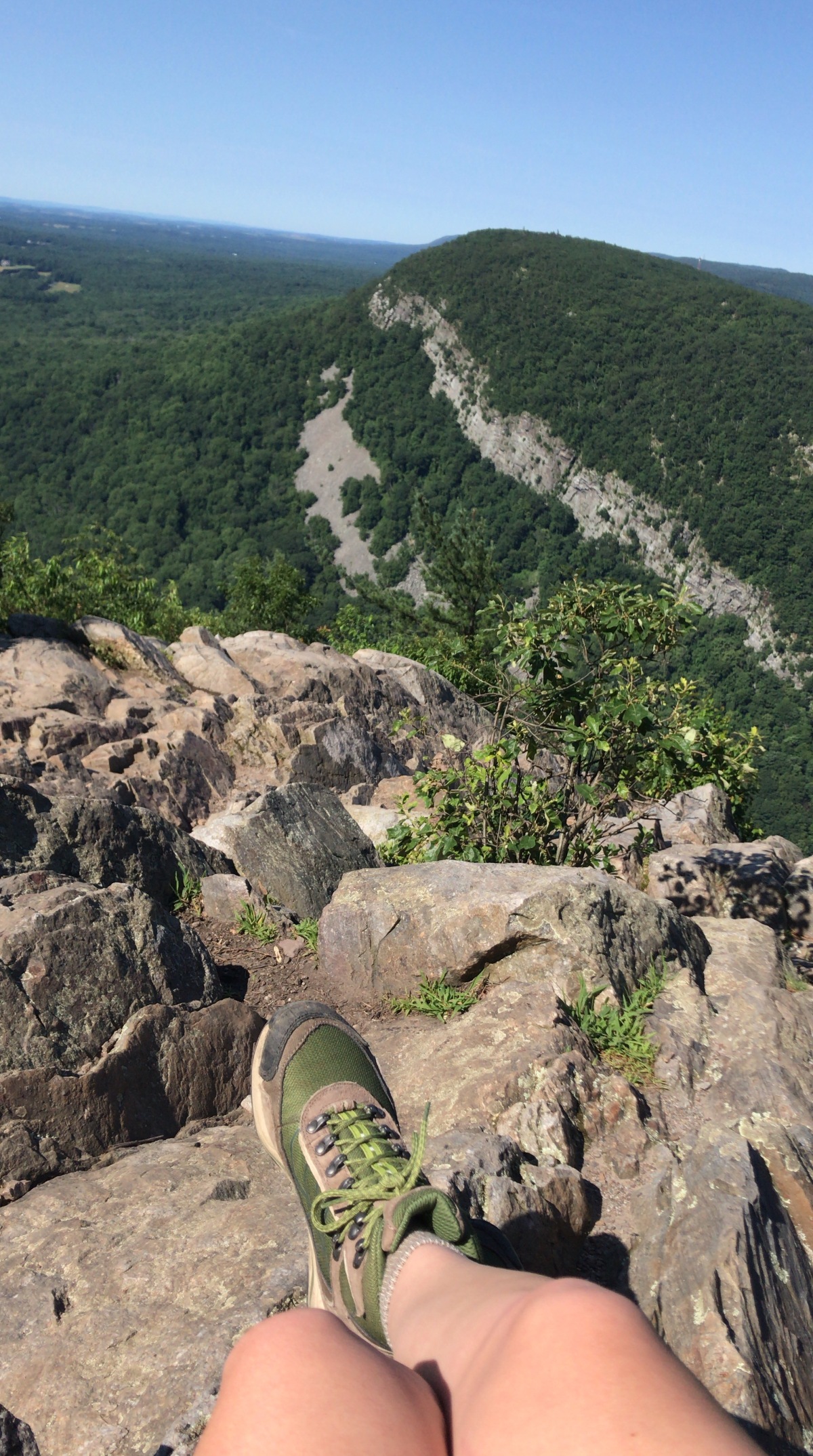
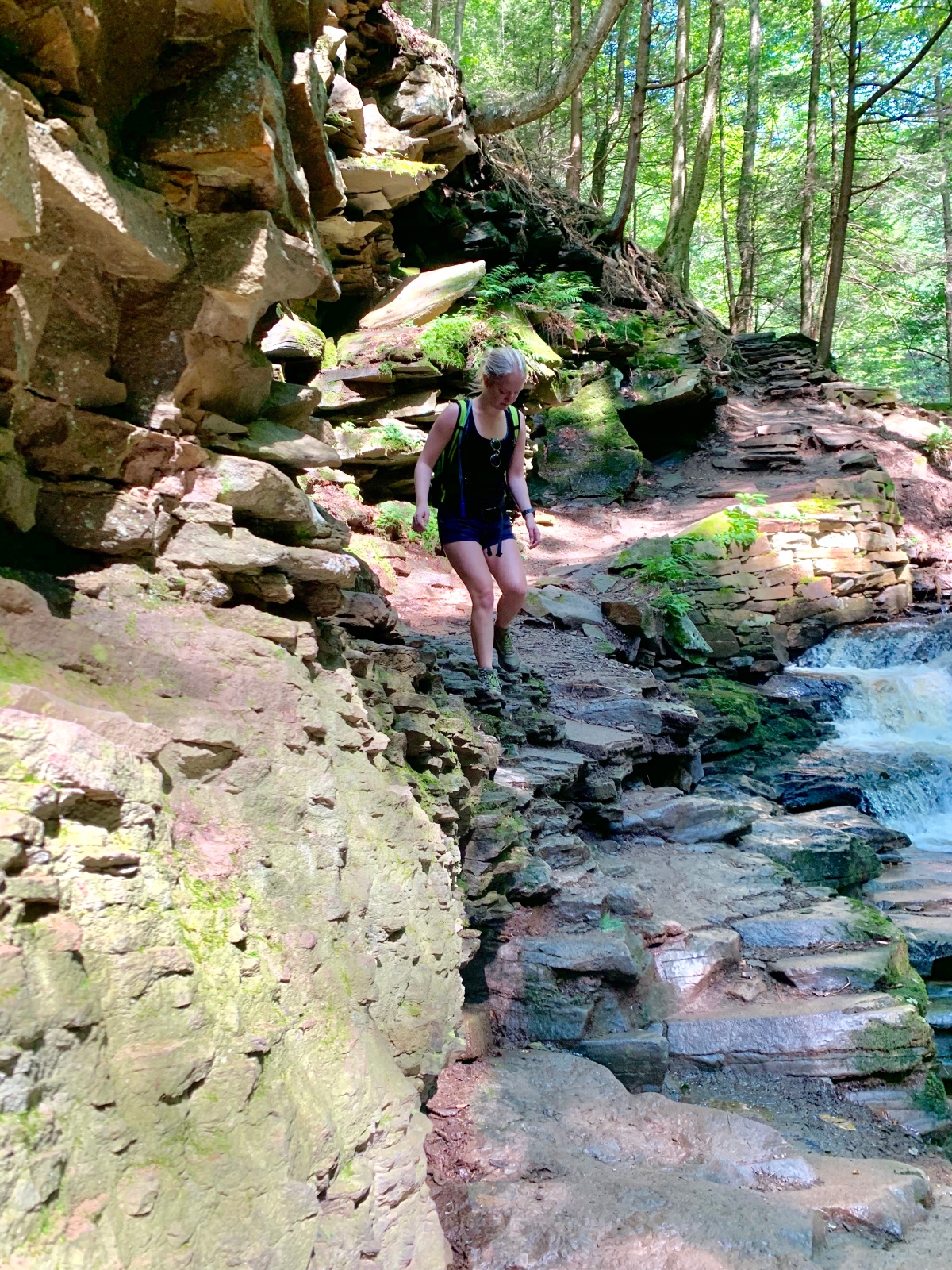
The descent after this waterfall followed along several more smaller waterfalls before meeting back up with the Falls Trail. We followed the Falls Trail back to the parking area for a total of 7.2 miles. On the way down, the trail was much more crowded and I was glad we came as early as we did. We finished the trail in about 3 hours. The trail was tough, but not impossible if you are at all experienced with hiking. Make sure you wear shoes with good grip as well because sections of the trail were wet and slippery.

fullsizeoutput_21d1

Overall, this trail was unexpectedly beautiful and quickly became one of my favorites. If you’re ever able to explore this park I would highly recommend it. It was the perfect way to spend a Saturday morning outside. Happy hiking!

Shenandoah National Park: Old Rag Mountain Loop

Saturday morning of our Shenandoah weekend started early. We left our AirBnB by 6:00am to head to the Old Rag Trailhead which was one of my “must do” hikes in the park. By the time we parked and got started it was 7:00 am and the lot was packed full of hikers. The rangers were super helpful and made sure everyone had a map and knew which way to go on the trail. On the way up, we were told to take the Ridge Trail and then on the way down the Saddle Trail. The total mileage was about 9 miles. It was going to be hot and humid so we made sure to pack plenty of water (about 3 liters each) and electrolytes as well as some snacks for the summit!

The first three miles of the hike were shady and wooded, but a steady ascent with plenty of switchbacks. It was quiet in the forest and I was honestly hoping to spot a bear (no luck!). Soon enough, the rock scramble portion of the trail began and I had never experienced anything like it. We began climbing up and down over boulders for what felt like forever. We climbed underneath hanging boulders and shimmied our way into tiny crevasses. Each time there was a clearing I found myself asking “Is this the summit?” and each time I was wrong. There were tons of false summits on this hike which made it all the more challenging.

IMG_5075

The rock scramble portion was definitely the hardest portion of hiking I have ever done. I had to constantly pull myself up over rocks and crevasses. It required a lot of endurance and at least some upper body strength. Making sure you were paying attention was also important because I did slip a few times and slid down a boulder, resulting in a scraped up elbow. Grippy shoes were a must on this hike!

IMG_1470

Once we finally saw the official summit sign, we were pumped. We made it and could relax for a little while, taking in the view of the mountains all around us. The summit was huge and had tons of spots for pictures and snacking. There were boulders stacked atop the summit in all directions and people were lounging on top of them (which honestly freaked me out a little- it just seemed a little too unbalanced for me). I couldn’t believe how beautiful this summit was. It was windy and cool and had views in every direction of the Blue Ridge Mountains. We took tons of pictures and fueled up with some Uncrustables before beginning the long journey back to the parking lot.

IMG_5088

IMG_5084

IMG_1472

We began our descent on the Saddle Trail and enjoyed some more (much gentler) rock scrambling before passing two shelters: the Byrds Nest Shelter and the Old Rag Shelter. These would be great spots to get out of the sun for a bit if it was a particularly hot day. After the Saddle Trail, we continued onto the Weakley Hollow Fire Road which is a relatively gentle four mile trail back to the parking lot. This section of the trail was tedious and tiring. I was ready to prop my feet up at this point!

Finally, we could see the lot in the distance and I was ready to have some real food and drinks. I was also ready to rip off my hiking boots after a long day. We finished the entire loop by about 1:00 pm. On a different note, I saw tons of couples and families heading up to the trailhead when we were finishing and most did not have any water or backpacks. A lot of them were also not wearing proper footwear. Make sure that everyone in your party brings the proper amount of fluids for summer hikes and that you are being careful!

Later on that evening, we made a trip to Charlottesville, Va to grab some dinner and enjoy the town. I had never been there before either so I was excited to see it. It was an adorable town and the historic downtown portion was so cool! All of the restaurants had tables along the street and the weather was perfect for eating outside.

804F0FC8-E913-401A-8C96-4E79F8C808E1.jpg

Sunday of that weekend, was our final day in Virginia and I can honestly say that Shenandoah National Park surprised me. I loved everything about it and will definitely be back in the future to try Old Rag again. What was your favorite hike in Shenandoah?

fullsizeoutput_2196


The Delaware Water Gap: Mount Tammany Views

After my first hike of the summer, I was hooked again. I decided the Delaware Water Gap looked like the next best place to try out in the area and I planned the trip. The drive was about 2 hours from my hometown in a suburb of Philadelphia and it was right off the side of the highway. We arrived early and found a parking spot quickly, but it definitely fills up by about 10:00 am (the parking lot was absolutely crazy when we were making our way out!) The trail was well-marked and we found our way easily. We took the Red Dot Trail on the way up to the summit and the Blue Dot Trail on the way down. The Red Dot Trail is steep and rocky and the Blue Dot Trail is a gentle descent. The entire loop is about 3.5 miles and took up about 2.5 hours.

After hiking up the Red Dot Trail for about 30 minutes, we came to a gorgeous view of the water gap which is a great photo op. This section of the hike was strenuous and steep, but at least you get a break to take in the view!

Then, continuing along the Red Dot Trail, you will head back into the woods and continue the ascent. It is rocky and steep, but not unmanageable for a moderately, experienced hiker. The trail was well-shaded and there are plenty of places to stop for a snack or a water break. There is a final push of incline to reach the summit which is quite wooded with a section of boulders that hikers can gather on to take in the view. We stopped at the summit for about 15 minutes to enjoy some snacks and to take a few pictures.

904444C3-8BFF-42A4-A493-240070FEB486

A11CA36B-5CB8-4338-9491-F1F334264152

Then, we began our slow descent via the Blue Dot Trail which was a nice change of pace. The trail was mostly flat with some gentle hills. Soon enough we reached some water falls which were a nice surprise. The trail followed along a stream and passed several small waterfalls which just added to the serenity of this hike. There was also a wooden bridge passing over the stream at one point which was a great spot for taking pictures.

4F0B27F6-B312-48FA-9387-5F404E1D90FF

IMG_5028

Continuing on along the water falls and streams, we finished up the hike in 2.5 hours and headed back to the car. I was surprised how great this hike actually was and will definitely be back again in the future. Make sure to arrive early and bring enough water if you’re planning on coming here in the summer! The crowds were really picking up as we were leaving. I would say that the trail was moderately difficult if you have even a little bit of hiking experience. Have you ever hiked at the Delaware Water Gap?

Exploring Close to Home: Hawk Mountain in Kempton, PA

I’ve been on a bit of a hiatus from blogging, but I decided to give it another try after several awesome hikes this summer! The past year I’ve been super focused on nursing school and I haven’t had as much free time to explore as I would like. In May, I did make a trip out to Hawk Mountain in Kempton, PA and I never realized what a gem that mountain was. It was a fun and challenging hike with some awesome views along the way.

We arrived around 9:30am and paid the $10 fee required per hiker. Then, we set off on the River of Rocks trail for about 1 mile. The trail slopes downward and into the valley before beginning the ascent on the other side. It was shady and cool along the River of Rocks trail, but there weren’t many views to enjoy just yet. We spent about 1 to 1.5 hours on this portion of the trail. Soon enough though, the ascent begins and your quads are burning!

IMG_4889

After the River of Rocks trail, there is a crossroads which you can take to the Skyline trail which I recommend as it offers some awesome views of the valley and the hawks flying overhead! The trail in between River of Rocks and Skyline lasts about 0.8 miles and is uphill. The ascent is steep and rocky and there are tons of rock scrambles to climb over. Once you reach the Skyline trail the views are awesome! The Skyline trail allows you to stop at several outlooks and birdwatch for the many hawks that live in the sanctuary. Its 1.3 miles long. The final push to the peak is rocky and requires some tough scrambling, but you’ll be rewarded with a great summit. There were plenty of people on the summit already when we got there, but we quickly found a spot to eat some snacks and take it all in. There is a shorter hike to the summit if anyone in your party is not able to do this hike. 477E79EA-3432-48AE-AFB5-FD257543243A

Overall, this hike took about 3.5 hours and was well worth the 1.5 hour drive from my hometown. I definitely recommend checking it out if you live in the Philadelphia suburbs and have never been! Do you recommend any hikes in the area?


Crane Mountain, Adirondacks, NY: Getting Back Out There

After doing some research into which mountain in the Adirondacks to hike next, my boyfriend and I decided on a less well known mountain in the Southern Adirondacks that’s only an hour and a half away from my apartment. Crane Mountain is located in Warrensburg, NY and is a 3.2 mile loop (but was actually slightly longer for us) that features amazing views of the more northern Adirondacks as well as a beautiful pond. The roads leading to the trailhead are winding and get very steep the closer you get, so I definitely recommend bringing a car with 4-wheel drive if there is any chance of inclement weather. The directions we found online were very clear though and we were able to easily find the trailhead and parking lot.

We quickly strapped on our hiking bags and laced up our boots before signing in at the trailhead and starting the hike. The hike immediately got rocky and steep which was surprising, but not unmanageable. There was a lot of tree cover and some puddles making the trail a cool escape from the sun. We saw so many little orange salamanders along the trail which I had never seen before (so cute!) and some we even moved out of the way of other hikers that might not notice them. The trail continued to get steeper and rockier, but the views began peaking out from behind the trees.

IMG_2281IMG_2286

Steep rock scrambles started to test me at this point, since I am not in the shape that I was last year, but the views at every turn made it more and more worth it. We soon came upon the first ladder of the hike which was pretty small, but still added a little something extra. A little while later, we found a second much larger ladder that honestly was a bit scary, but super cool once we reached the top of it. The ladders added a nice touch to an otherwise normal hike and also made the trip to the summit undoubtedly easier.

IMG_2338IMG_2290

The summit was only a little farther from the second ladder and it was truly breathtaking. There was only one other person at the top when we reached it and it made me feel like I was all alone in the world. You could see for miles and miles. There are tons of other Adirondack mountains in the distance as well as small lakes and if you peek through some evergreens on the summit you can even catch a glimpse of the High Peak Region to the north. It’s truly a breathtaking summit.

fullsizeoutput_da8IMG_2313

We spent about 30 minutes just taking in the view up there and enjoying a quick snack before heading down the loop trail on the other side of the summit. The trail passes along some other amazing vistas before going back down into the woods and becoming rockier once again. The trail was slippery in some parts which posed a challenge, but there was nothing too technical that would prevent an average hiker from doing it.

IMG_2328

After a while more, we reached a quiet and lovely mountain pond surrounded by evergreen trees and reeds. It was a nice view and definitely worth seeing if you have the time for a slightly longer hike. The flat portion of the hike around the pond was a nice break from the tough downhill, rocky sections which quickly picked back up. I was struggling a bit as we descended to some of the steeper sections, reminding me just how out of shape I am (haha). Once we reached the end of the trail, I was sad that it was over. We signed out at the trailhead and wished some other ascending hikers good luck before stripping off our sweaty socks and backpacks and heading home (aka to Chipotle to stuff our faces first then home!).

IMG_2333

Overall, this hike was one of the best ones I have ever done. It had everything you could ask for including amazing views, tough rock scrambles, interesting ladder sections, serene forest trails, and even a quiet mountain pond. It has definitely become one of my favorites. The summit was peaceful and empty, making it all that more memorable. It reminded me why I love hiking so much and why it’s so important to step back from the world and recharge every once in a while.

IMG_2335

Happy Hiking!! What hikes do you have planned for this upcoming fall season?